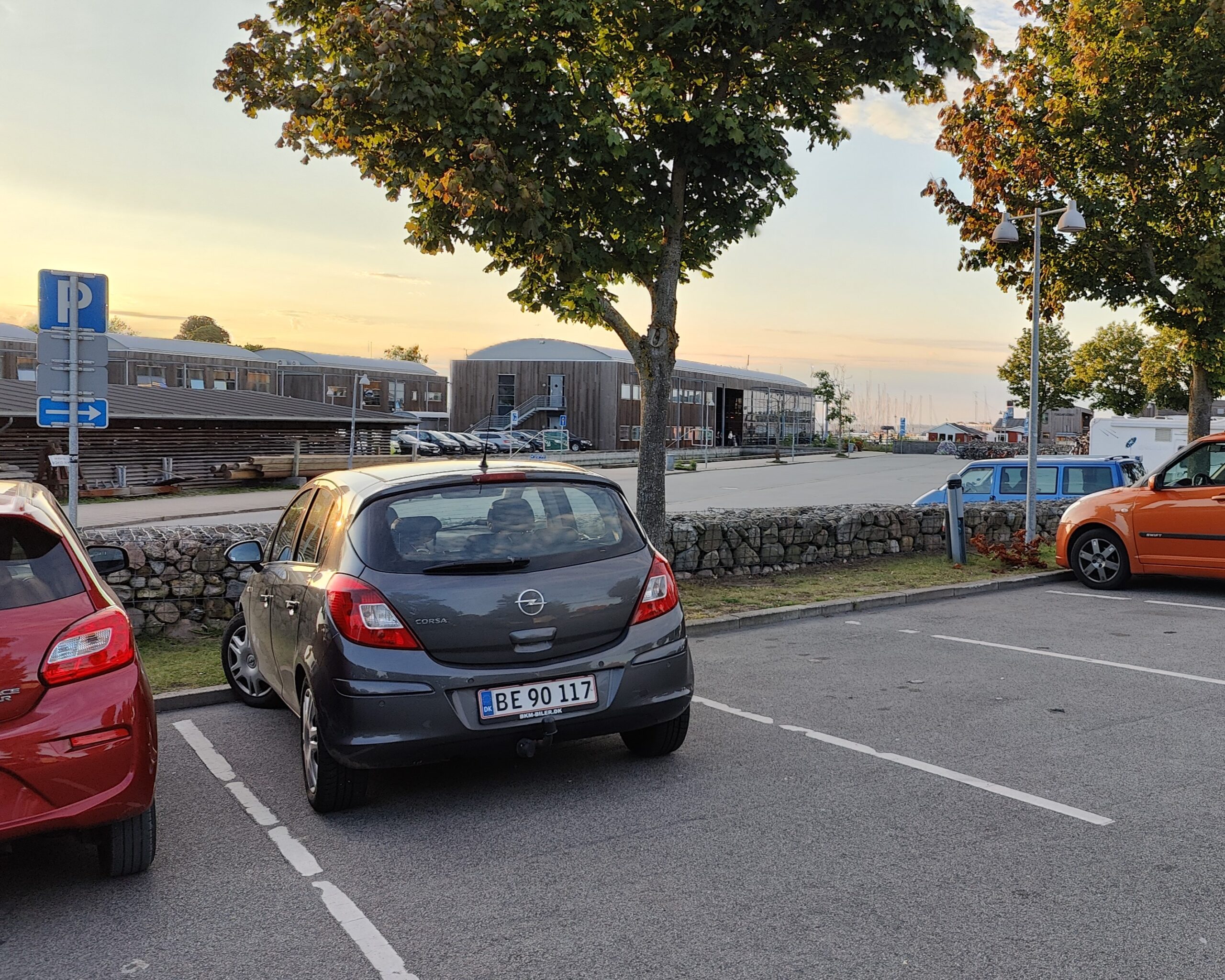
The Viking Ship Museum in Roskilde is one of Denmark’s most visited cultural sites. Thousands of visitors arrive by car every year. For a long time, no one knew how they actually parked. Not because it did not matter. Because the data did not exist.
sensors at the Viking Ship Museum
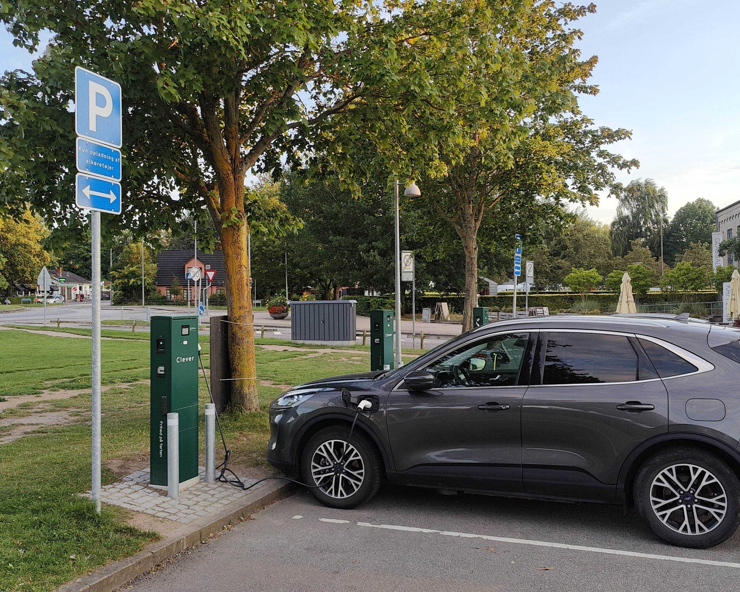
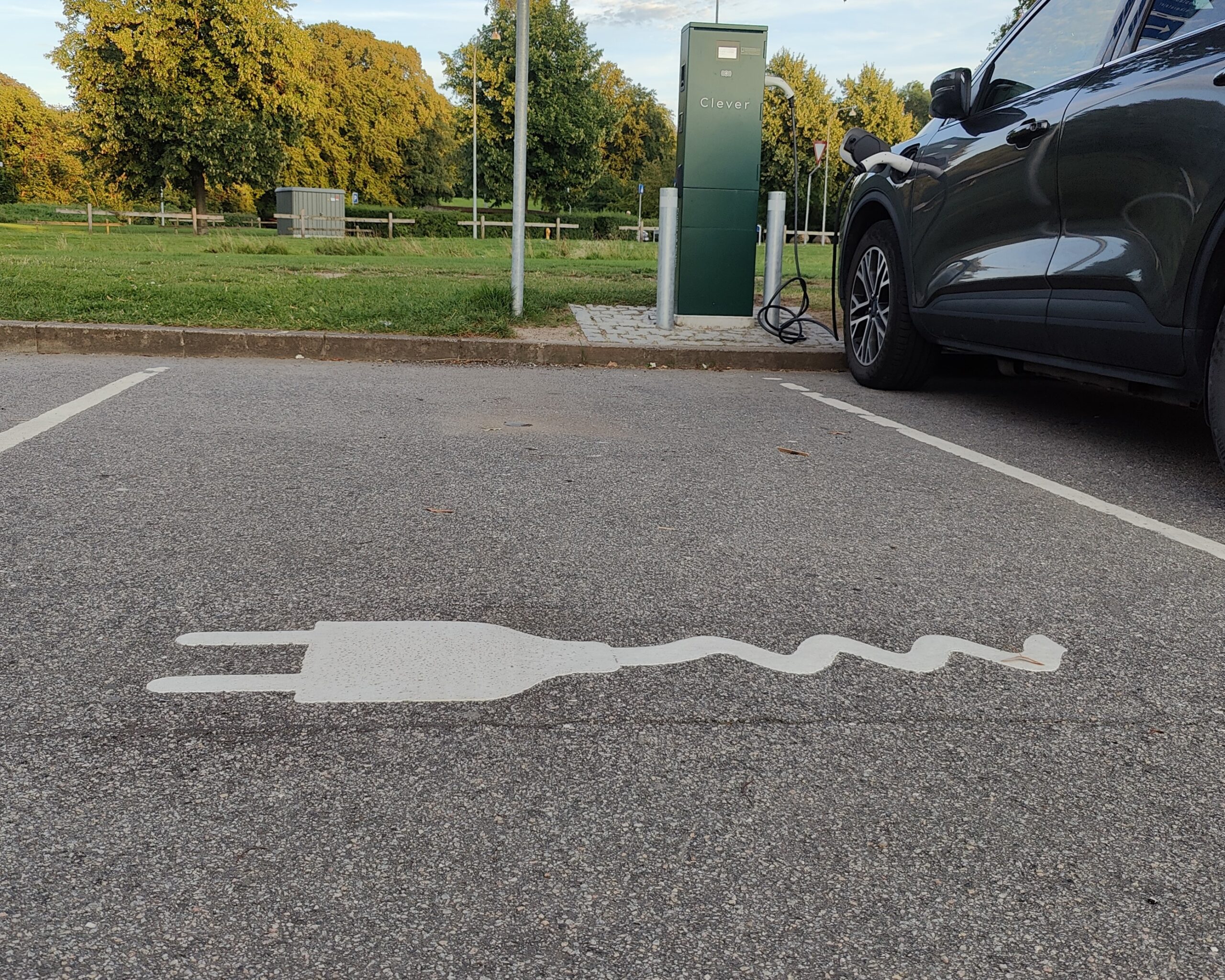
sensors across handicapped and EV charging spaces
sensors at Borchgade streetparking
The Challenge
For Roskilde Kommune, understanding parking behaviour around the Viking Ship Museum was genuinely difficult. Demand fluctuates throughout the day and across seasons, and without reliable occupancy data, planning was based on assumptions.
Manual counts provided a snapshot at best — nothing continuous, nothing comparable over time, and nothing that could tell planners how the area was actually performing. Decisions about capacity, layout, and future investment were made without the evidence to support them.
At the same time, existing guidance screens in the area were not functioning. Drivers arriving at the museum had no reliable information and no way to be guided to available spaces.
The Solution
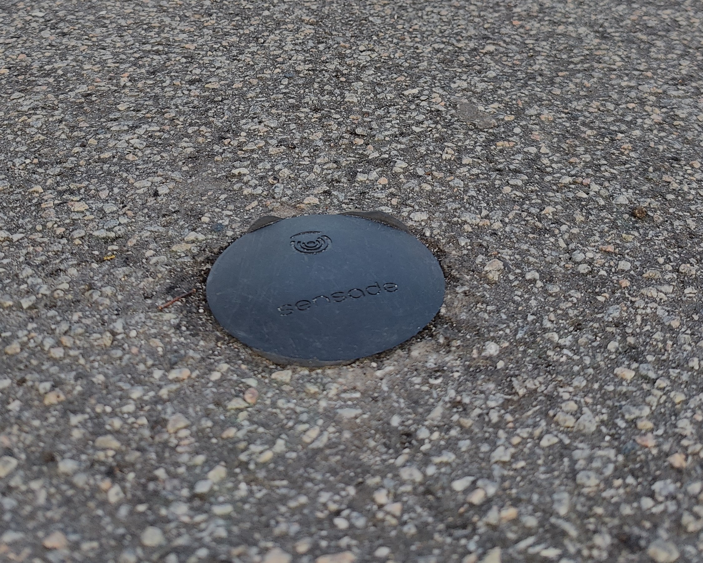
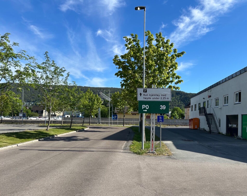
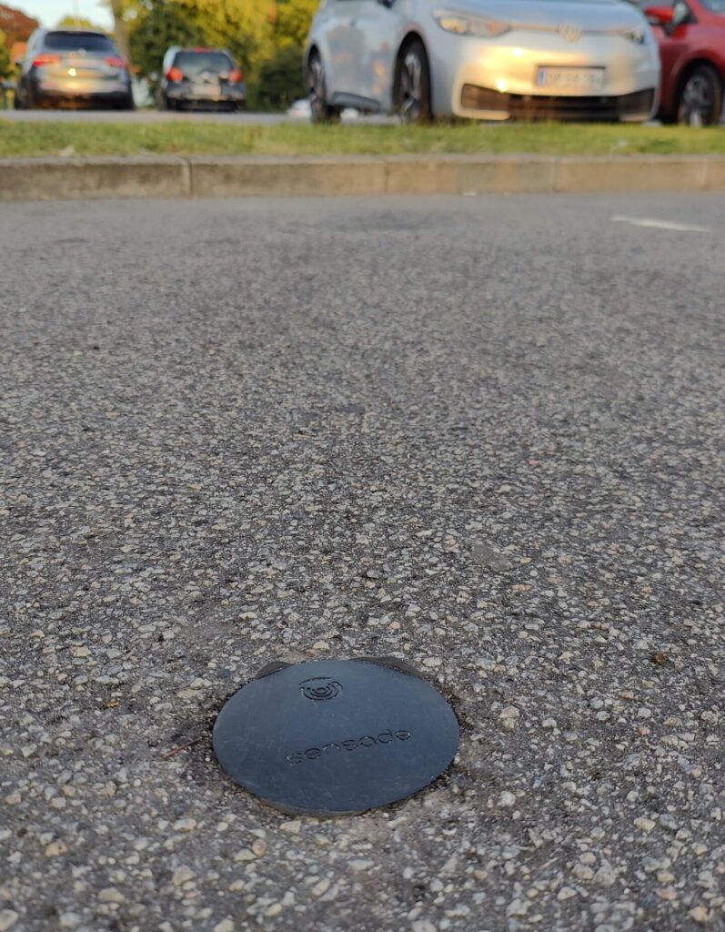
Sensade deployed 220 parking sensors across the Viking Ship Museum area, covering the spaces visitors and locals depend on most. Each sensor detects occupancy in real time, transmitting data continuously to the Sensade platform.
A key part of the solution was integration with the city’s existing guidance screens. Sensade made those screens operational, feeding live occupancy data directly into the infrastructure Roskilde already had in place. For the first time, drivers arriving in the area could be guided to available spaces in real time.
The sensor data flows into a centralised Sensade dashboard, where it is combined with data from other existing systems in Roskilde. City planners gain a continuous, unified overview of how parking in the area is actually used, from daily patterns to peak demand periods to how different zones perform over time.
The Impact
For Roskilde Kommune, the project delivers what manual counts never could: a continuous, reliable picture of parking behaviour in one of the city’s most complex and heavily visited areas. Planners can now ask and answer questions that were previously out of reach. Is capacity sufficient? Where does demand concentrate? How should future development align with real usage?
The data the sensor network generates is already shaping how the city thinks about its parking infrastructure. Decisions are no longer based on estimates. They are based on evidence.
The project has also grown. Following the initial deployment at the Viking Ship Museum, Sensade has since installed 235 sensors across handicapped and EV charging spaces in Roskilde, and a further 29 sensors covering street parking at Borchgade. Each new deployment adds another layer to the city’s understanding of how its parking infrastructure is used.
A City Building Toward Full Visibility
Roskilde started with one of its most visited and most complex areas. What it has built since is a growing foundation of real-world parking data across multiple categories and locations. The city is now on its way to a complete overview of its parking infrastructure. That is what evidence-based urban planning looks like in practice.
The Results
- Real-time occupancy data across multiple parking categories
- Dashboard integrated into existing city screens
- Data foundation for area planning and investment decisions
- Pilot expanded to cover new locations across the city